


When a tenant looks for a home, they rarely settle on just one option. In most cases, they compare...


Leisure and Culture
Do you enjoy strolling among trees and plants, away from the hustle and bustle of the big city...

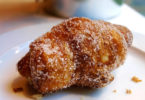
Gastronomy
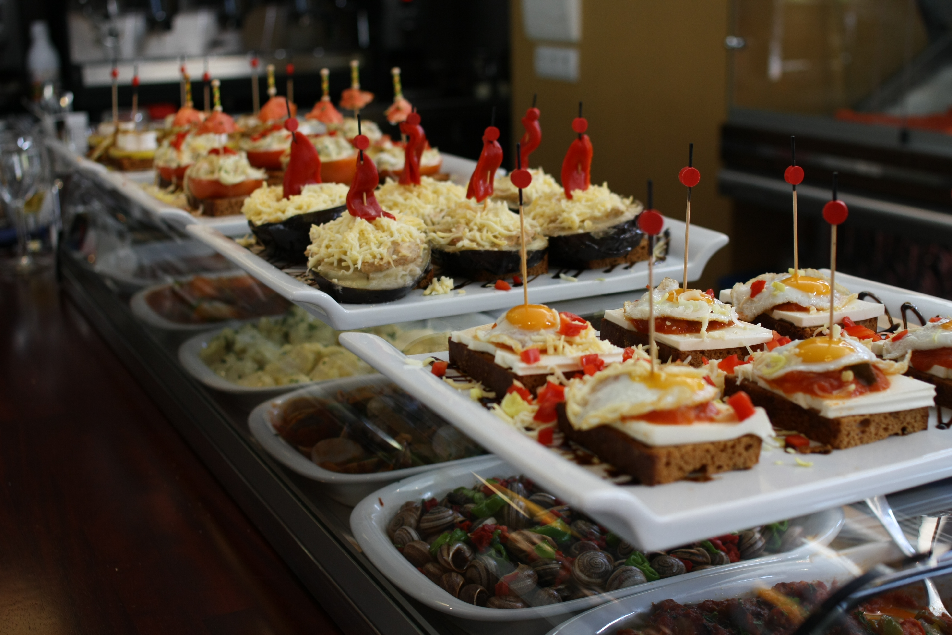
It’s difficult to name the best place for Gourmet Tapas in Barcelona. Taste, quality...


Trends

On August 22, 2024, the 37th edition of what will be “the best America’s Cup in...


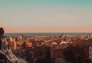
Living in Barcelona

How to Find a Trusted Locksmith in Barcelona
Getting locked out or dealing with a broken key can happen to anyone — and in those stressful...

The Importance of Air Conditioning Maintenance in Barcelona
Barcelona’s Mediterranean climate, with increasingly warmer and longer summers, makes air...

Top 5 Most Stunning Gardens in Barcelona
Do you enjoy strolling among trees and plants, away from the hustle and bustle of the big city...

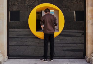
How to open a bank account in Spain as a foreigner
If you are planning to move to Barcelona for a few months or permanently, one of the steps you will...